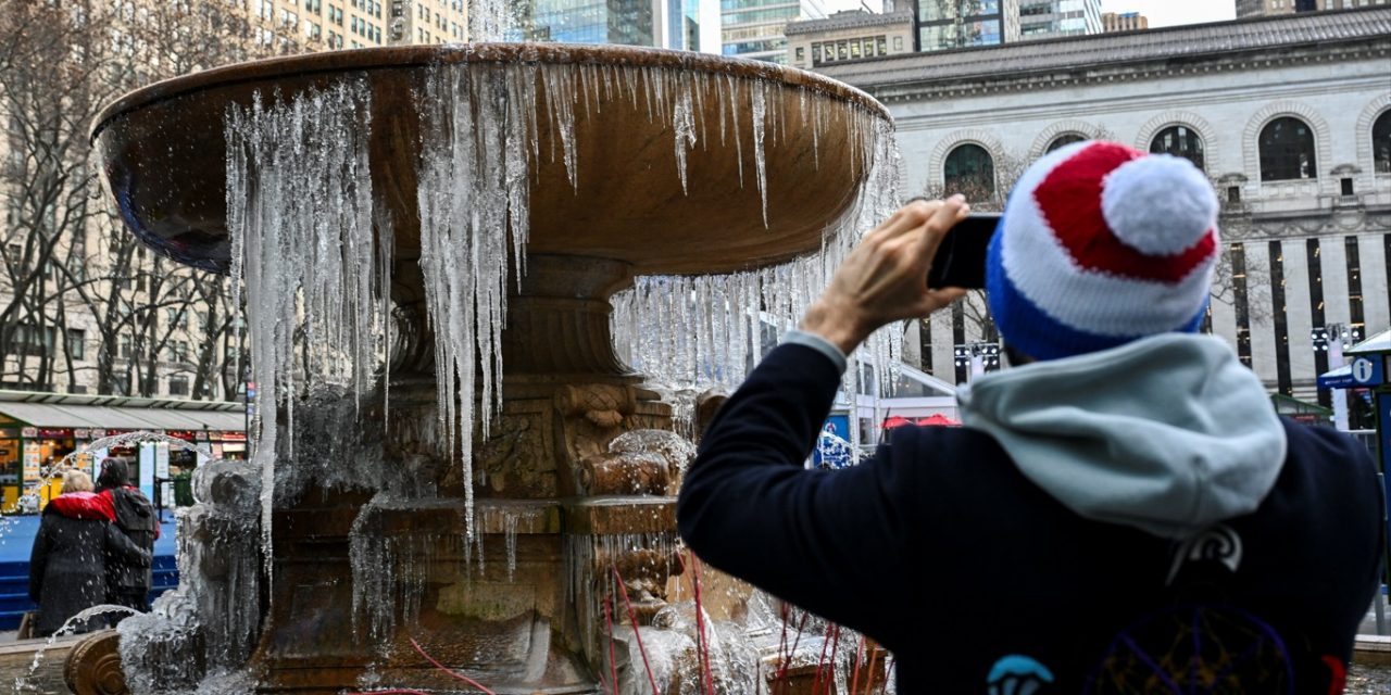
Dangerously cold air mass expected to arrive in New York early next week | ANGELA WEISS/AFP
Residents of New York state and New York City should prepare for extreme cold conditions next week, according to data from various weather prediction models. If you’re in New York, get ready because it will be bitterly cold.
The European numerical model (ECMWF) is forecasting temperatures at the 850 mb level (5000 feet) of -23.5°C (-10°F) for the New York City area, which indicates an extremely cold and freezing air mass.
The cold will be strongly felt in New York City starting in the late hours of January 20. January 21 and 22 will be exceptionally cold, with the minimum temperature potentially dropping to 5°F in Central Park. Temperatures below zero can’t be ruled out in areas surrounding New York City.
Meteorologists from the NWS also stress that “while some moderation in temperatures may occur during the middle of next week, the overall pattern is anticipated to remain favorable for additional cold air oubreaks in the Lower 48 to close the month of January.