JOSHUA LOTT/AFP/METSUL METEOROLOGIA/FILE
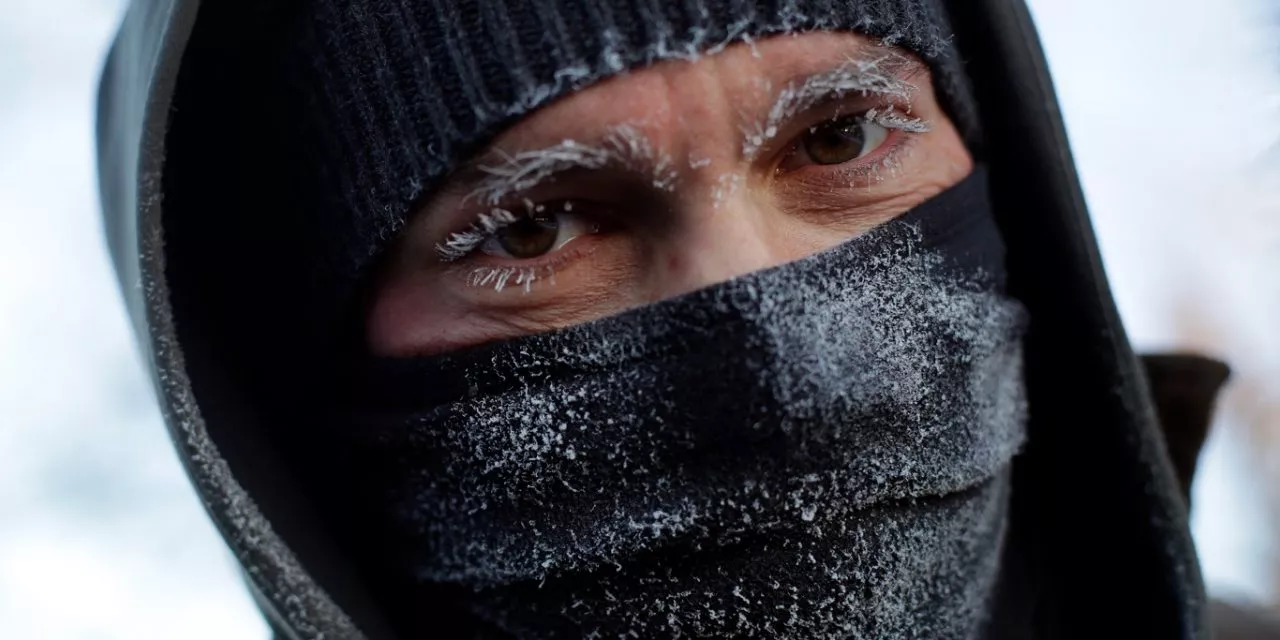
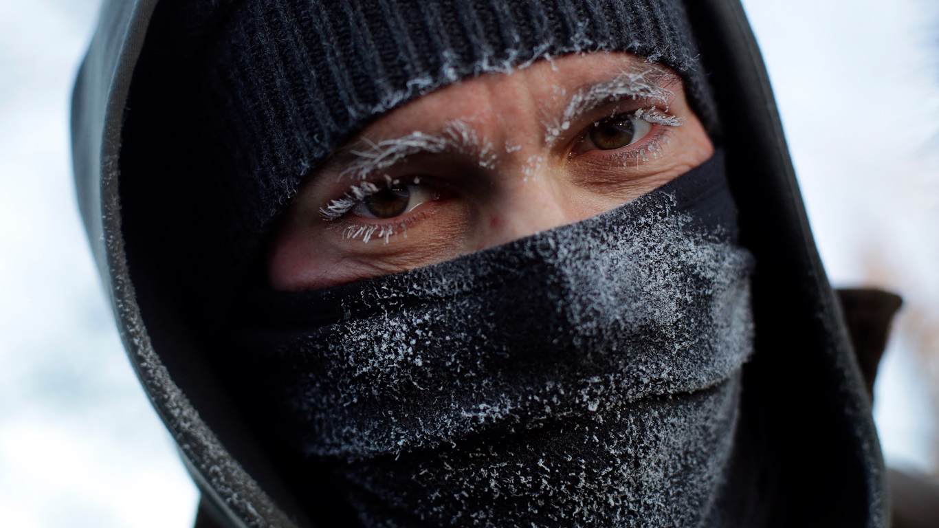
Dangerously cold weather will affect more than 100 million people in the Unites States east of the Rockies early next week with a blistery cold air mass coming directly from the North Pole and Siberia, a phenomenon called Siberia Express that refers to arctic frigid air originating from Siberia, a region renowned for its extreme cold.
The week began with a stark temperature divide. Arctic air entrenched over the Midwest and Northern and Central Plains is spreading toward the Northeast, causing temperatures to dip 10 to 25 degrees below average.
Following this cold snap, the Plains and Midwest will experience a temporary warming trend by Thursday and Friday, with highs reaching 30s and 40s—relatively mild for January.
However, the brutally cold arctic air is set to deliver a new wave of bitterly cold air, sourced directly from Siberia. This cold air mass will descend through Canada and into the U.S., driven by a jet stream pattern featuring a northward bulge near Alaska and a sharp southward dip east of the Rockies.
This setup allows arctic air to flow southward into the Plains, Midwest, South, and Northeast. The incoming cold wave could produce the lowest temperatures of the winter season in many locations.
Minneapolis may experience its first double-digit subzero low, while cities like Chicago and Denver could see temperatures drop below zero for the first time this season. New York City could descend to 5 degrees in the Central Park with sub-zero lows in the surroundings areas of NYC.
Wind chills will exacerbate the cold, with dangerous levels predicted early next week. In parts of Minnesota and the Dakotas, wind chills could reach the 30s and 40s below zero, while the Midwest and Plains may see wind chills in the 20s and teens below zero.
According to the National Weather Service (NWS), after a brief warm up to end of the week, a strong cold front will usher in a dangerously cold air mass east of the Rockies. Much below normal temperatures are forecast to first arrive in the Northern Plains this weekend and then dive southward and eastward over the following days.
The National Weather Service warns that “hazardous cold temperature and wind chills are anticipated east of the Rockies. Sub-zero temperatures are possible in the Northern Plains, Great Lakes, Midwest, and interior New England. Well-below freezing temperatures are likely as far south as the Gulf Coast.”
Meteorologists from the NWS also stress that “while some moderation in temperatures may occur during the middle of next week, the overall pattern is anticipated to remain favorable for additional cold air oubreaks in the Lower 48 to close the month of January.
A MetSul Meteorologia está nos canais do WhatsApp. Inscreva-se aqui para ter acesso ao canal no aplicativo de mensagens e receber as previsões, alertas e informações sobre o que de mais importante ocorre no tempo e clima do Brasil e no mundo, com dados e informações exclusivos do nosso time de meteorologistas.