
Winter’s grip on the United States is tightening as another blast of arctic air, driven by the polar vortex, prepares to plunge temperatures to dangerously low levels across the country.
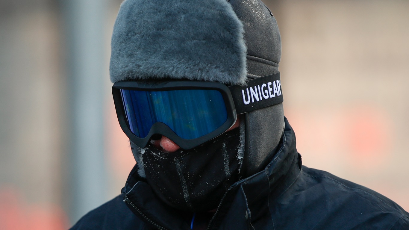
KAMIL KRZACZYNSKI/AFP
This latest surge of extreme cold follows a series of winter storms that have already brought heavy snow, ice, and record-breaking lows to many states. Now, millions of Americans are bracing for what could be one of the most severe cold spells of the season.
The polar vortex, a massive area of frigid air swirling around the North Pole, is making its 10th descent into the U.S. this winter. This latest blast will begin moving into the northern Rockies and northern Plains before spreading to the Midwest and the East Coast throughout the week.
The National Weather Service describes this as an “impressive Arctic airmass” that will take hold of much of the country, bringing widespread threats of record cold temperatures and dangerous wind chills.
Temperatures are forecast to plummet 20 to 50 degrees below average in many areas, with some of the coldest readings expected in Montana, North Dakota, and South Dakota. Some locations in Montana could see temperatures drop into the minus 40s, with wind chills reaching an astonishing -50°F (-45°C) or lower.
Meteorologists warn that exposure to these conditions could lead to frostbite in just minutes. In the Northern Plains, including parts of Minnesota and Wisconsin, wind chills could also reach -50°F, creating life-threatening conditions for anyone caught outside without proper protection.
Subzero temperatures will extend far beyond the northern states. Oklahoma, Nebraska, Missouri, and Illinois are all expecting bitter cold, with some locations dipping below zero for multiple nights.
Even as far south as Texas and Arkansas, temperatures will be well below freezing. Meanwhile, the East Coast is not escaping the deep freeze. The cold air is expected to sweep into the mid-Atlantic and parts of the Northeast, with temperatures falling far below normal.
This latest wave of arctic air will reinforce the effects of a powerful system set to deliver snow and ice from the Plains to the East Coast. Snowfall will begin late Monday and intensify through Wednesday, affecting states from Texas to New England.
The storm’s exact track remains uncertain, but early forecasts suggest heavy snow is possible from the Ohio Valley to the mid-Atlantic, with a chance of significant ice accumulation in the Carolinas.
As the system moves offshore, there is growing concern that it could develop into a strong nor’easter, bringing heavy snow and strong winds to cities along the East Coast from Virginia to Massachusetts. The storm’s impact will depend on how close it tracks to the coastline. If it remains further out to sea, snowfall totals may be lower, but if it moves closer, a major snowstorm could unfold for millions in the Northeast.
While much of the country will be affected by snow, ice, or extreme cold, a few regions will be spared. Hawaii, California, and Florida are expected to remain relatively mild compared to the rest of the U.S. However, even Florida could experience a brief dip in temperatures as the arctic air spills southward.
Meteorologists warn that this prolonged period of cold could have serious consequences. Power grids in affected regions may come under stress as heating demand spikes, and travel disruptions are expected across multiple states.
With wind chills dropping well below zero in vast areas of the country, the risk of hypothermia and frostbite will be a major concern. The National Weather Service advises people in affected areas to take precautions, dress in layers, and avoid prolonged exposure to the cold.
This arctic outbreak comes on the heels of another major winter storm that recently swept across the country, bringing heavy snow and ice to the West, Midwest, and Northeast.
Snowfall totals reached up to 10 inches in parts of the Great Lakes and New England, while freezing rain coated roads and power lines in the Appalachians and mid-Atlantic. The combination of that system and the incoming polar vortex will make for one of the harshest winter weeks so far this season.
As the U.S. braces for this next round of extreme weather, experts continue to monitor the situation closely. With temperatures set to plummet to historic lows in some locations, and the potential for another powerful snowstorm, the coming week will be a challenging one for millions of Americans.