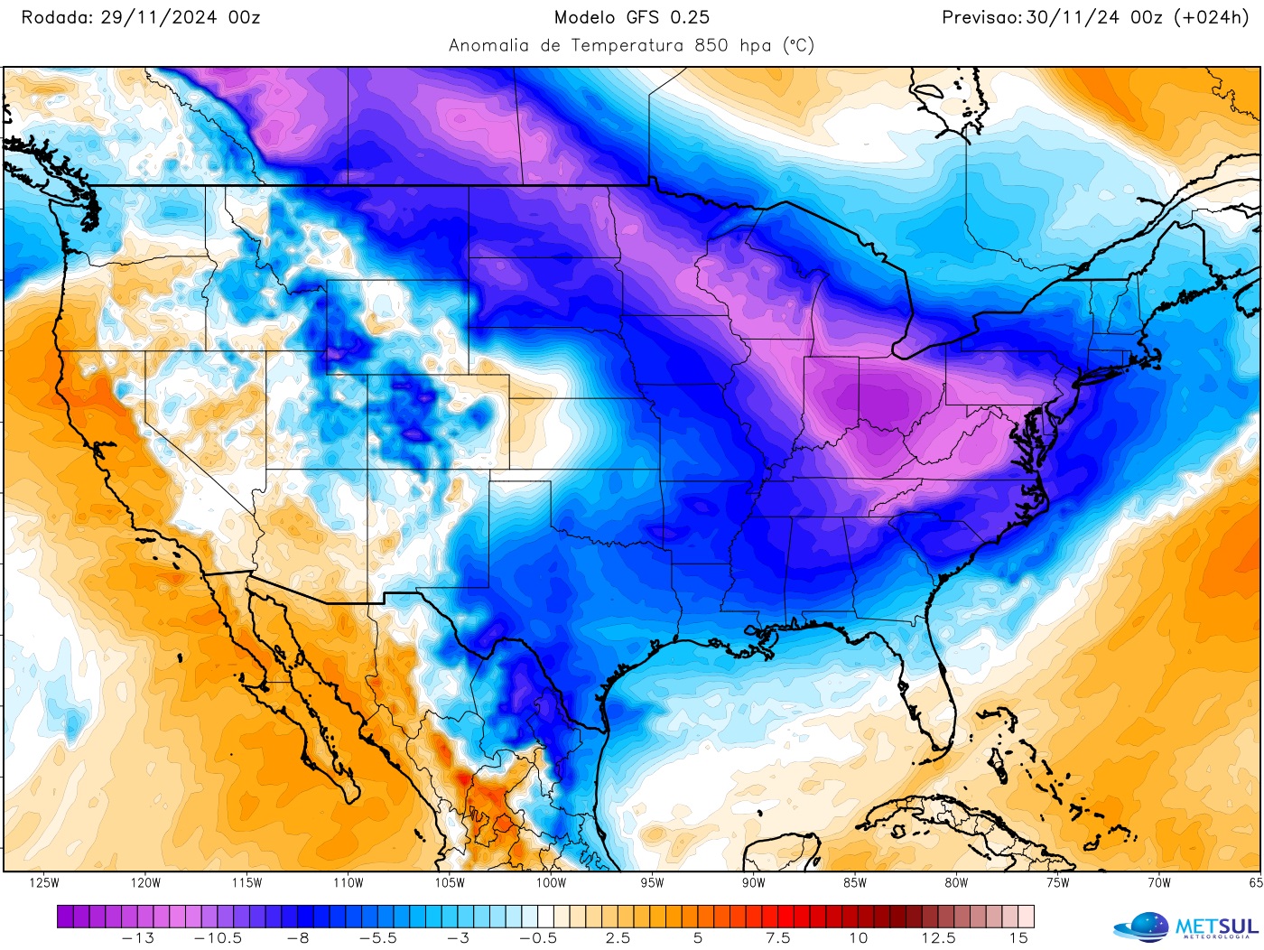
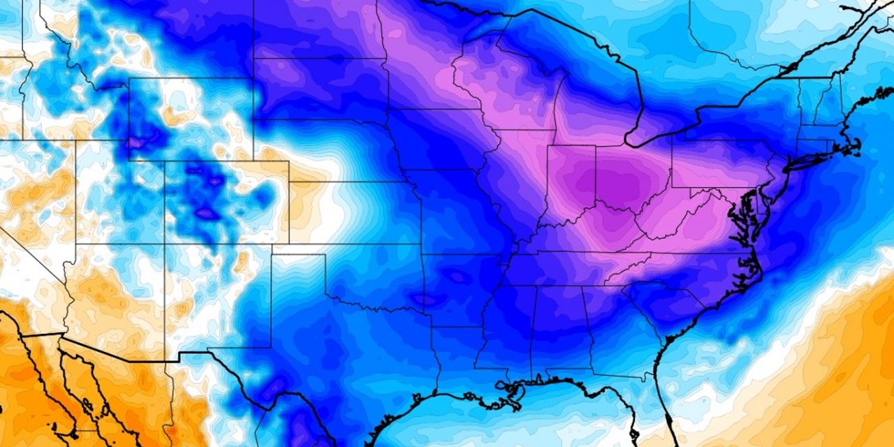
Thanksgiving Recipe: Turkey, a Massive Arctic Air Mass, and Lots of Snow. A massive Arctic air mass is set to sweep across much of the United States this Thanksgiving, bringing a frosty touch to Black Friday. For some states, one of the key ingredients for the turkey feast will be snow—a lot of snow.

METSUL.COM
Several counties in western and northwestern New York are preparing for a significant lake-effect snow event expected to bring 2 to 3 feet of snow this weekend, with the hardest-hit areas including Erie, Chautauqua, Cattaraugus, Oswego, Jefferson, and Lewis counties.
The National Weather Service (NWS) in Buffalo issued a lake-effect snow warning effective from Friday morning through Monday evening. Widespread snowfall of around 4 inches is expected in surrounding areas.
The storm is fueled by Arctic air passing over the warmer Great Lakes, creating highly localized and intense snowfall rates that may exceed 2 inches per hour. These conditions could make major roads, including interstates, impassable, especially as snowplows struggle to keep up.
Travel disruptions are anticipated, particularly for post-Thanksgiving travel, with officials in neighboring states like Ohio and Pennsylvania urging motorists to delay trips. Drivers are advised to prepare for sudden weather changes, reduced visibility, and slippery conditions, leaving extra space between vehicles and avoiding sudden braking or acceleration. Despite the severity of the event, this marks the region’s first significant snowstorm of the season, arriving later than usual.
Simultaneously, a broader Arctic air outbreak will bring unseasonably cold weather to much of the central and eastern United States, including the Washington, D.C., area. Temperatures are expected to hover around 40°F during the day and dip into the mid-20s or lower at night, with the chill potentially lingering into mid-December.
This cold front originates north of Alaska and is being driven south by atmospheric pressure patterns, creating the conditions for lake-effect snow in the Great Lakes region. Meteorologists highlight the intensity of this event, noting the interaction between a brutally cold Siberian air mass and record-warm Great Lakes water. This setup is ideal for producing heavy snowfall, with localized snow bands potentially dumping more than 2 feet in some areas.
Meteorologists familiar with lake-effect snow describe such events as extraordinary, with snowfall sometimes exceeding a foot in just a few hours. Areas like the Tug Hill Plateau in New York, known for its extreme snowfall, are particularly affected, often experiencing whiteout conditions with high winds and occasional thundersnow.
This weekend’s storm exemplifies the challenges posed by early winter weather, especially during peak travel periods, while highlighting the dramatic meteorological processes driving these localized but intense snow events.

