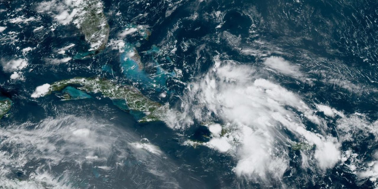
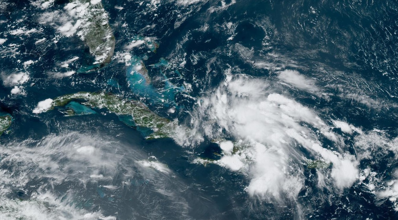
Invest 97L is producing disorganized showers and thunderstorms over Hispaniola (Haiti and Dominican Republic), Puerto Rico and the Southeastern Bahamas | NOAA/NASA
There is an increasing possibility of a tropical cyclone reaching the United States in the next few days as a developing tropical disturbance in the Caribbean will enter the eastern Gulf of Mexico over warm sea surface temperature that may lead to intensification.
If the disturbance Invest 97L reaches storm status it will be named Debby and could impact an area probably between the states of Florida and Louisiana with strong winds, ocean surge and heavy rain.
Florida Governor Ron DeSantis has already declared a state of emergency this Thursday ahead of the tropical disturbance brewing in the Caribbean, near Hispaniola.
According to the National Hurricane Center (NHC), the tropical wave is now producing showers and thunderstorms over Hispaniola, Puerto Rico, the Southeastern Bahamas and the adjacent waters of the southwestern Atlantic and northeastern Caribbean Sea.
Based on forecast models projections, uncertainty remains high on the evolution of this tropical disturbance. Some models indicate the system may stall near the shore in the Southeast United States for days, leading to extreme rainfall and flooding.
If the system strengthens into tropical stormDebby it will be the fourth named storm of the 2024 Atlantic hurricane season. Residents of Florida, especially the Gulf Coast side, must pay close attention to this system in the next few days.
The National Oceanic and Atmospheric Administration (NOAA) for months is anticipating a very busy hurricane season and the Atlantic is entering the peak of the season from August to October. All categories of storms are expected to exceed the typical number seen every year, National Weather Service forecasters announced.